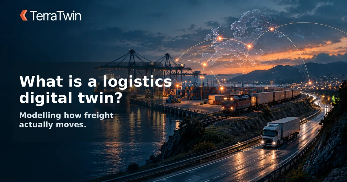
A digital twin is a virtual model of a real-world system — in TerraTwin's case, the physical infrastructure that freight actually moves through: roads, ports, rail lines, vessels, and the routes and schedules that connect them.
Instead of relying purely on whatever data a customer or carrier can supply, TerraTwin's Digital Twin fills in the gaps. Give it an origin, a destination and a transport mode, and it can reconstruct a realistic route, distance and set of transport legs — even when the underlying shipment data is partial or messy.
Why it matters for emissions
Emissions calculations are only as good as the activity data behind them. A straight-line distance between two postcodes, or a shipment with no route detail at all, produces a rough number at best.
By modelling the actual network — port-to-port sea legs, rail corridors, last-mile road delivery — the Digital Twin produces a distance and mode breakdown much closer to what actually happened, before any emission factor is even applied.
- Reconstructs realistic multi-leg routes from incomplete data
- Understands real transport infrastructure — ports, rail hubs, road networks
- Falls back gracefully when specific data points are missing
- Feeds directly into ISO 14083 and GLEC-aligned emissions calculations
The result is an emissions figure grounded in how freight actually travels, not just what happened to be in a spreadsheet column.